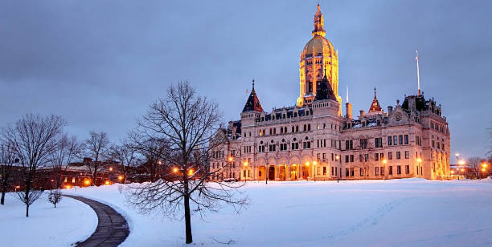
As we all anticipate the coldest punishing air mass of the new winter season we need to take precautions from the elements affecting all of us in southern New England. After a prolonged period of snow and wind, the arctic bite will be felt in a big way for a couple of days Friday and Saturday. Very dry and light powdery snow will begin covering our landscape during Thursday mornings commute and will intensify Thursday evening into near blizzard conditions as an intense coastal low will deepen off the mid Atlantic coast drawing in bitter cold air from Canada. Northeast winds will pick up creating near wideout conditions at times. The eastern coastal areas will feel the full wrath of this winter storm with gale force wind gusts exceeding 50mph. The storm will depart Friday morning leaving behind about a half foot or more of snow with sculptured drifts all over the place and the coldest temperatures here n 10 years. Highs on Friday will struggle to reach the low teens and lows of 5-15 below zero will be common Saturday morning. Then a gradual warm up through the weekend. “Nice”.
Hyper-Local Weather Tracking
by Charles Miano
New Britain, Connecticut

